Residue Reviews
Francis A. Gunther
₹5,100
Training Workshop on Mapping Desertification
Springer-Verlag New York Inc. · 2008
Free delivery. Nothing extra to pay at checkout.
Desertification and Risk Analysis Using High and Medium Resolution Satellite Data: Training Workshop on Mapping Desertification by NATO Advanced Research Workshop on Desertification, Risk Analysis Using High & others is a 274-page book published by Springer-Verlag New York Inc. in 2008. It belongs to the NATO science for peace and security series series.
Its main subjects are Control, Desertification, Congresses and Data processing.
Francis A. Gunther
₹5,100
S. B. Sharma
₹20,028
John I. Levenhagen, Donald H. Spethmann
₹3,643

Rex Miller, Mark R. Miller
₹5,501

Paolo Caravani
₹5,967
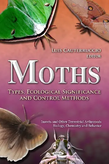
Luis Cauterruccio
₹9,696
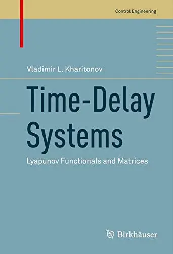
Vladimir Kharitonov
₹3,618
₹4,098
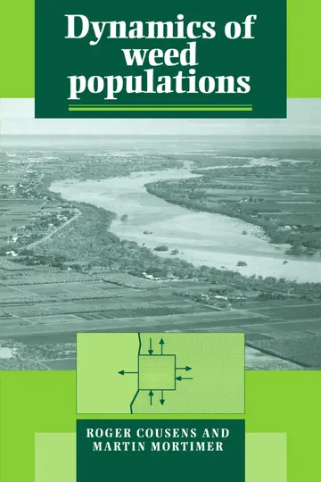
Cousens R.
₹3,703
German Ardul Munoz-Hernandez, Dewi Ieuan Jones, Sa'ad Petrous Mansoor
₹3,187

Roger Phillips
₹998
Allan S. Felsot, Kenneth D. Racke
₹19,392